AI Propels Geospatial Data; Satlas and Project Guacamaya Take Lead
The landscape of geospatial data analysis is rapidly transforming across sectors like agriculture, urban planning, and disaster management. Artificial Intelligence (AI) is playing a crucial role in this transformation, with technology giants like Microsoft and Seattle’s Allen Institute for AI (AI2) leading with innovative projects – Satlas and Project Guacamaya.
Global Development Through Satlas’ Snapshots
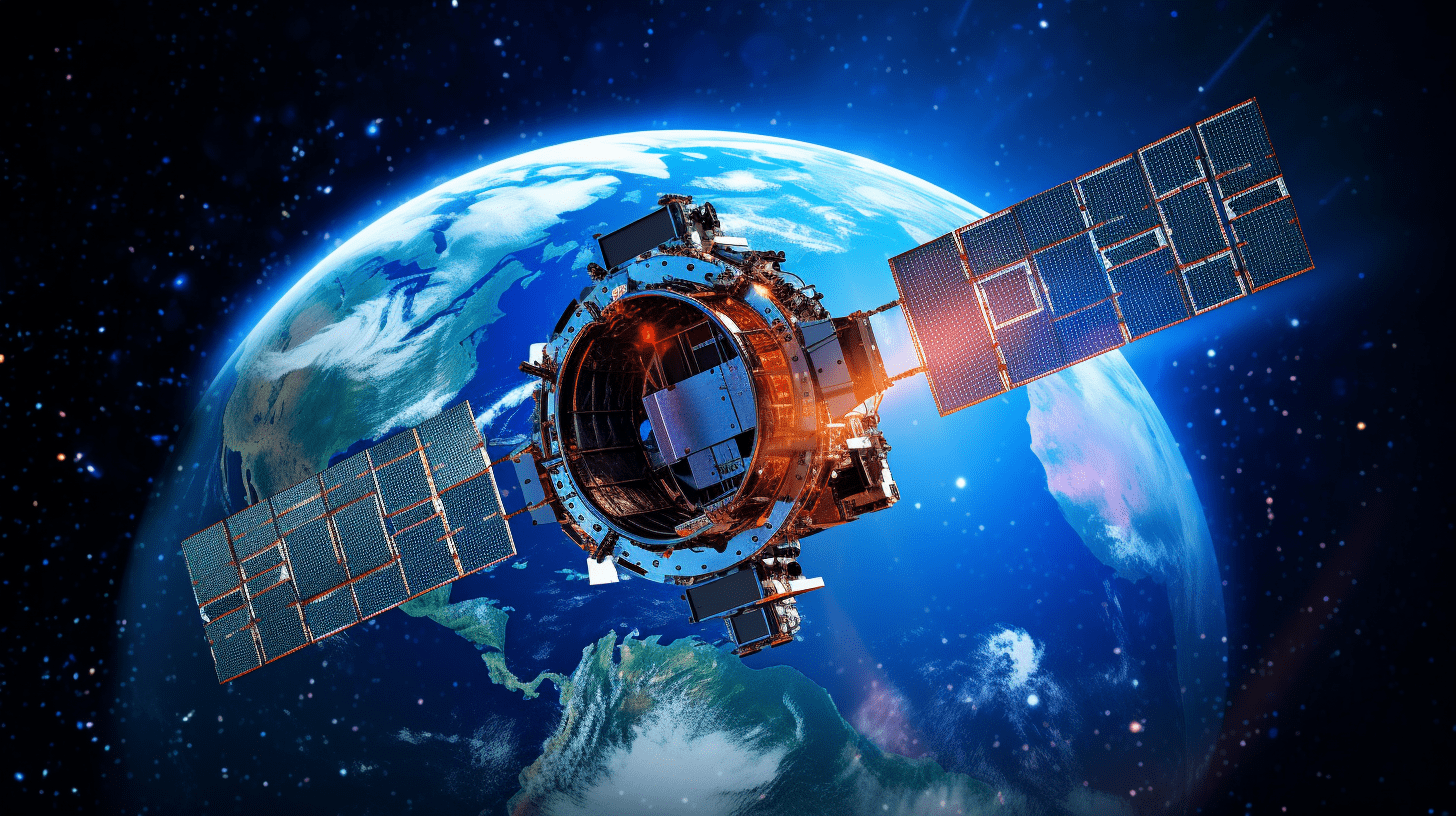
AI2’s latest offering, Satlas, presents a software platform for scrutinizing global geospatial data, obtained from satellite imagery. It utilizes deep-learning models to recognize features – offshore platforms, solar farms, tree cover – upon images yielded by the European Space Agency’s Sentinel-2 satellites and displays them on an online map for tracking changes over time.
In a recent blog post, AI2 research scientist, Fayven Bastani, shared the intricacies involved in the project:
“We have manually labeled 36K wind turbines, 4K solar farms, 7K offshore platforms and 3K tree cover canopy percentages in Sentinel-2 imagery,”
The AI tools developed by the Satlas team have managed to enhance the resolution of satellite imagery by four times, from 10 meters to just 2.5 meters per pixel. Another AI2 endeavor, Skylight, is exploring how Satlas’ marine infrastructure data could enhance its system for tracking sea vessels.
Project Guacamaya’s Mission to Save the Amazon
Aligning its focus with understanding the alarming deforestation pattern in the Amazon Rainforest, is Project Guacamaya, a collaborative effort by Microsoft and its cohorts, aimed at South America’s growing environmental issue.
By blending data from Planet Labs’ satellites, concealed cameras, and acoustic sensors with AI models, the project tends to monitor the health of both the rainforest and its resident species. Colombian conservationists then leverage this data to identify potential environmental risks.
Besides the Humboldt Institute and Planet Labs, Microsoft’s collaborative network for Project Guacamaya includes multiple other organizations who are focused on achieving a common goal.
Diego Ochoa, director of external affairs at the Alexander von Humboldt Institute in Colombia emphasizes the impact of this technology-based project:
“This is not just about monitoring, and it’s not just about artificial intelligence or even generating a scientific paper,” Ochoa said. “We need to inspire society, using AI, hopefully will inspire Colombians to change the way they think about biodiversity and nature”
As the global environmental monitoring mission continues, other tech giants like Amazon and BlackSky too have made significant strides in geospatial data analysis.
Conclusion
From enhancing satellite image resolution with AI to deploying AI models for environmental monitoring, the combined efforts of Satlas and Project Guacamaya underscore the immense scope of this profound technology. The initiatives shine a spotlight on how AI can bring about massive positive changes for our planet by offering actionable insights. We welcome our readers to share their thoughts, ideas or experiences relating to AI’s impact on environmental conservation. How do you think technology can further contribute to our shared commitment to the environment?


